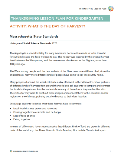
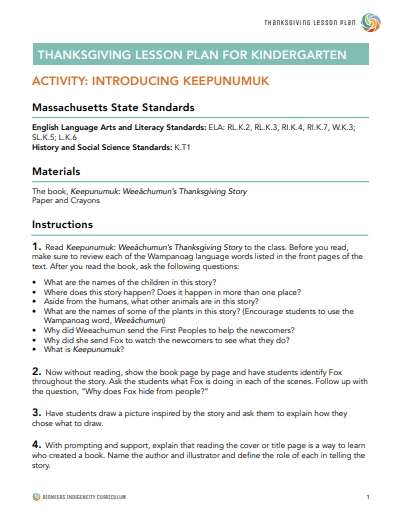
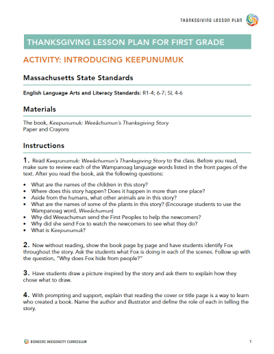
Bring history, geography, and Native American culture together with this multi-layered and engaging activity — perfect for Thanksgiving, Native American Heritage Month, or Indigenous Peoples’ Day.
For the Wampanoag Tribe and many Native Americans, it is important to know where you are located in relation to the four directions, North, South, East, and West. This lesson for first graders explores the geography of Native tribes and the Wampanoag people. Although the lesson has been designed for the first grade, it can easily be adapted for older or younger students.
The Geography of Native American Tribes
Explore the geography and the history of the Wampanoag homelands, and its location within New England and North America. During this lesson, students will use compass directions, interpret maps, and learn about the importance of location and direction to the Wampanoag Tribe (and many American Indian tribes). They will discover villages that once existed all over Cape Cod in the northeast, learn about the history of those villages, and find out how they have influenced modern-day place names.
What's Inside:
Complete printable PDF lesson plan download - includes a printable map of the tribal nations.
Lesson details
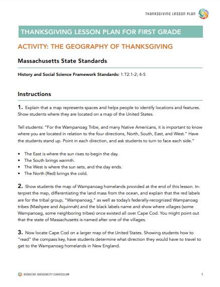
- Explain that a map represents spaces and helps people to identify locations and features. Show students where they are located on a map of the United States.
- Tell students: “For the Wampanoag Tribe, and many Native Americans, it is important to know where you are located in relation to the four directions, North, South, East, and West.”
- Have the students stand up. Point in each direction, and ask students to turn to face each side. The East is where the sun rises to begin the day. The South brings warmth. The West is where the sun sets, and the day ends. The North (Red) brings the cold.
- Show students the map of Wampanoag homelands provided at the end of this lesson. Interpret the map, differentiating the land mass from the ocean, and explain that the red labels are for the tribal group, “Wampanoag,” as well as today’s federally-recognized Wampanoag tribes (Mashpee and Aquinnah) and the black labels name and show where villages (some Wampanoag, some neighboring tribes) once existed all over Cape Cod. You might point out that the state of Massachusetts is named after one of the villages.
- Now locate Cape Cod on a larger map of the United States. Showing students how to “read” the compass key, have students determine what direction they would have to travel to get to the Wampanoag homelands in New England.
- Reiterate that the Wampanoag people are still here and that this is where the first harvest feast between Native Americans and European settlers took place. Ask students if they remember some Wampanoag words from the story, and emphasize that the Wampanoag language is still spoken today on Cape Cod. If students can’t remember, remind them of the words in the glossary.
- Using a world map, ask students if they or their family members speak another language and where that language comes from. Point to the language origin places on the map.
Learn More About Bioneers: Revolution From The Heart Of Nature


