(29) results found
9th Grade Map Worksheets
Filter
Most Popular
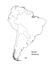
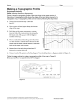
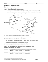
Map
9th Grade
Worksheets