MAPS
A chart of vital ocean and sea statistics.
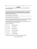
Use this worksheet to help students read map keys.
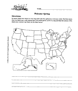
Using a map of the United States, children will identify the states with cold winters.
Learn about the Geography Hall of Fame with information on the world's largest continent, longest lagoon, and more!
The following table lists the approximate land area, highest elevation, and lowest elevation of the world's continents,…
Learn about the differences between climate maps, topographic maps, and others types of maps.
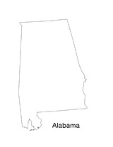
Blank outline map of Alabama.
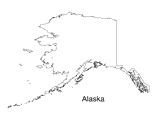
Blank outline map of Alaska.
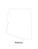
Blank outline map of Arizona.
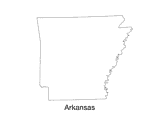
Blank outline map of Arkansas.
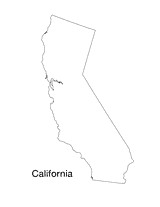
Blank outline map of California.
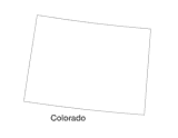
Blank outline map of Colorado.