MAPS
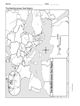
This printable outline of Mediterranean Sea Region is a great printable resource to build students geographical skills.…
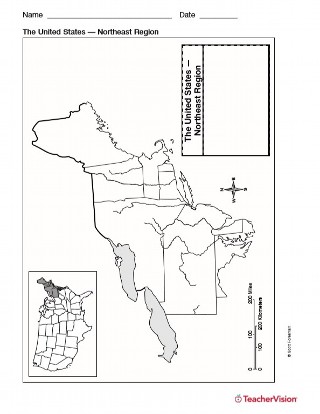
Use this resource to help students study the northeast region of the United States with this printable outline map. This…
Use a printable outline map that depicts the state of Maine.
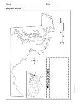
Use a printable outline map that depicts the state of Maryland and the District of Columbia.
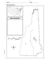
Use a printable outline map that depicts the state of New Hampshire.
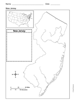
Use a printable outline map that depicts the state of New Jersey.
Use a printable outline map that depicts the state of Hawaii.
Hand out a printable computer activity that reinforces students' basic map skills, as they use the Internet to find the…
Enhance students' reading experience of Tolkien's The Hobbit with lesson planning resources that accompany chapters…
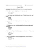
Test your pupils about travel, travel destinations, and tourism with this printable geography quiz.
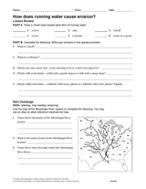
Enrich your Earth science curriculum with this worksheet. Students will identify forms of running water, consider their…
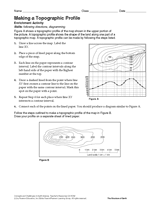
Follow the steps in this Earth science printable to make a topographic profile of a map.
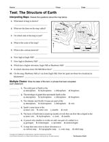
Gauge students' knowledge and understanding of maps and Earth's structure with this printable exam. In the first…
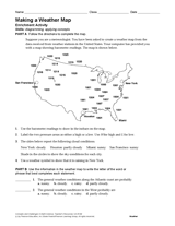
Use the data in this Earth science printable to create a weather map of the United States.
EDITOR'S COLLECTIONS
This printable geography book challenges your students with critical-thinking and problem-solving activities focused on…
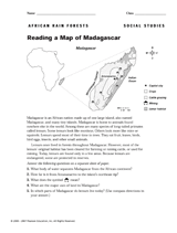
Use this printable to teach children how to read a map of Madagascar.
CLASSROOM TOOLS
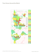
Use this printable map with your students to compare time differences and visualize the boundaries of time zones around…
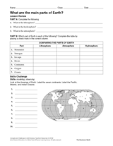
Compare parts of the lithosphere, atmosphere, and hydrosphere, in this Earth science printable. As a skill challenge,…
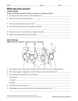
Connect geography, math, and science with this printable. Students will interpret a map and answer questions about time…
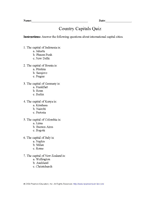
Teach pupils about capital cities of the world with this printable geography quiz.
Employ a printable reading activity that helps build skills in reading maps.
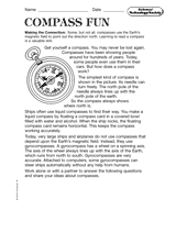
Discuss the various kinds of compasses and maps that are made. Students are then asked to respond to the reading on an…
Students practice writing and word processing a letter to be used in The Great Mail Race.
Enhance social studies units with the geography transparencies and visuals in this slideshow. Printable maps on…