WORKSHEETS
This activity reinforces map skills while integrating the importance of geography in a historical understanding of the…
MAPS
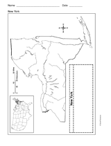
Use a printable outline map that depicts the state of New York.
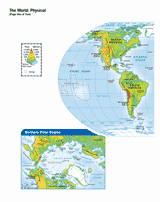
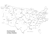
Use this printable map with your students to provide a physical view of the world. After learning about all the key…
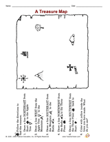
Distribute a printable social studies activity to your students that helps them focus on mapping skills and following…
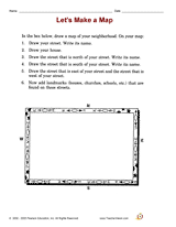
Distribute a printable social studies activity that focuses on a neighborhood map.Pupils will use the map to describe…
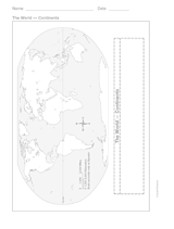
This printable outline of the continents is a great printable resource to build students geographical skills. This is an…
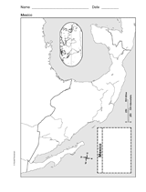
This printable outline of Mexico is a great printable resource to build students geographical skills. This is an…
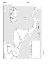
This printable outline of Central America is a great printable resource to build students geographical skills. This is…
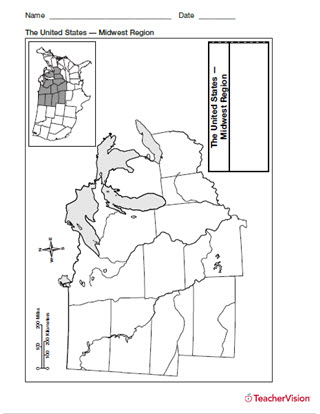
Help students build map skills with this handy printable of the Midwest Use a printable outline map with your students…
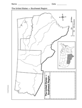
Explore the geography of Texas, Arizona, Oklahoma, and New Mexico with a printable outline map that depicts the…
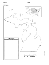
Use a printable outline map that depicts the state of Michigan.
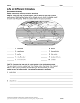
Connect Earth science and geography with this worksheet about life in climates around the world. After studying a map of…
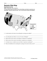
Use the map and key in this printable to evaluate the earthquake risk of different regions in the United States.
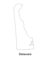
Help students understand the landform features of the state with this printable Delaware state map. Use it to support a…
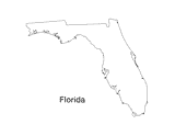
Print out a blank outline map of Florida to help your students learn more about the Sunshine State. This can be used…
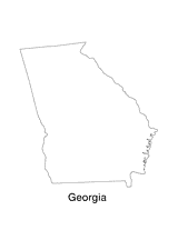
Print out a blank outline map of Georgia to help your students learn more about the this state. This can be used with…
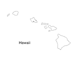
Blank outline map of Hawaii.
Use this U.S. map with physiography to help your students improve their geography skills. This map includes major…
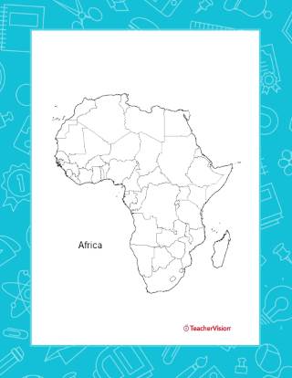
This outline map of Africa will help students recognize and identify the major countries and geographical features of…
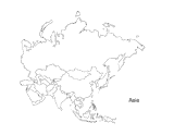
This activity is a great way to teach children about Asia, the largest of the world's continents. Students can use this…
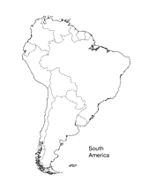
Print this outline map of South America.
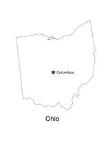
No lesson on "The Buckeye State" would be complete without a state map of Ohio showing the capital Columbus. Use this…
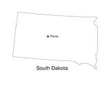
This printable black and white state map of South Dakota prominently features the capital Pierre. Students can print,…
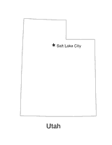
Blank outline map of Utah with state capital.