MAPS
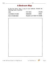
Increase social studies skills with an activity that focuses on drawing and understanding a map of your students'…
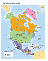
Use this printable map with your students to provide a political and physical view of North America. After learning…
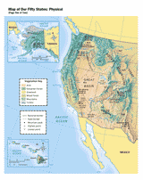
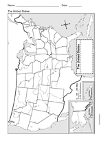
Use this printable map with your students to provide a physical view of the United States. After learning about this key…
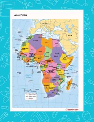
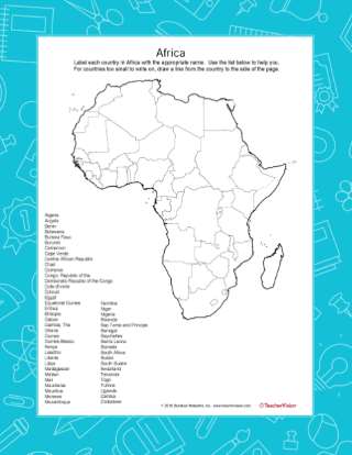
Use this printable map with your students to provide a political and physical view of Africa. After learning about this…
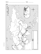
Use a printable outline map that depicts Asia to enhance your geography or history lessons. A map scale is included,…
This printable outline of the United States of America is a great printable resource to build students geographical…
After learning about the many countries of Africa, pupils use this worksheet with students as a review. Students will…
EDITOR'S COLLECTIONS
Included are neighborhood, state, and country maps, critical thinking questions about countries around the world, and…
Students will review U.S. geography as they create jigsaw puzzles from a printable map. Use this jigsaw puzzle game to…
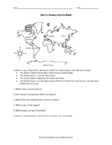
Students label the oceans of the world in this geography worksheet.
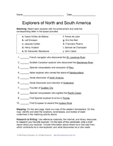
Learn about discovery and exploration in North and South America with this social studies printable. Students will match…
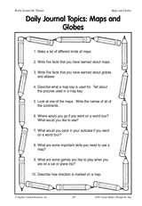
Assign one of 10 journal topics for students on the subject of maps and globes.
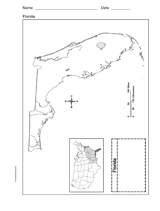
Use a printable outline map that depicts the state of Florida.
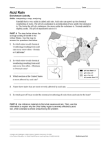
Learn about acid rain through the reading passage, U.S. mapping activity, and research questions in this Earth science…
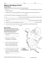
Students will use their knowledge of geography and Earth science to answer questions about the Ring of Fire in this…
Students create a survey to use in the Great Mail Race as a way of learning more about the United States.
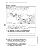
Students use a map of Marco Polo's trip from China to Italy to answer addition word problems.
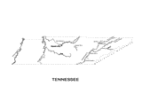
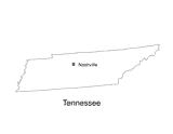
Use this Tennessee state map to help students learn about its physical geography, including borders, state capital,…
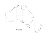
Explore Down Under with your child and this map. This printable map outlines the boundaries and regions of Australia.
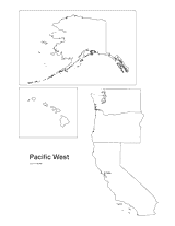
Print this outline map of the Pacific western United States.
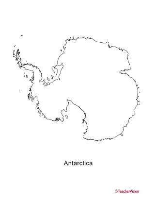
This blank map of Antartica is a great printable resource to teach your students about the geography of this country.…
No lesson on "The Volunteer State" would be complete without a state map of Tennessee showing the capital Nashville. Use…
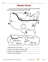
Develop student science skills with an activity that focuses on identifying/interpreting weather words.
Hold a Junior Genius Jeopardy! Game in your classroom. This printable classroom guide to Ken Jennings' Junior Genius…