MAPS
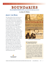
Teach students about the origins and history of the Mason-Dixon line through the nonfiction text Boundaries. The…
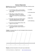
Study the cause, location, and date of five famous shipwrecks in transportation history. Children will match each…
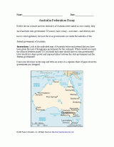
Students will review Australia's colonies before they became part of an independent nation, and think about other ways…
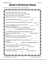
Teach children how to read maps with this printable Christmas game. This is a fun geography activity to enjoy during…
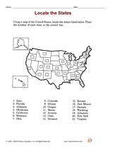
Try a library-skills activity that focuses on locating states on a map.
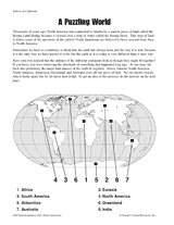
Long ago, the Earth's continents were all part of the same land mass.
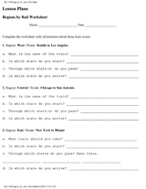
Learn the names and locations of states in certain regions of the United States.
Use a printable map of the United States with a distance key to help your students improve their geography and math…
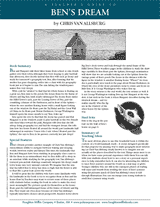
Bring geography to life with this printable teacher's guide to Ben's Dream, a children's book by Chris Van Allsburg. The…
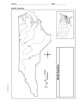
Use a printable outline map that depicts the state of North Carolina.
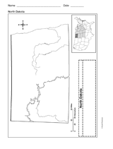
Use a printable outline map that depicts the state of North Dakota.
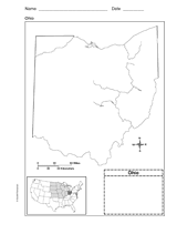
Use this printable outline map that depicts the state of Ohio in your next geography or social studies lesson.
Use a printable outline map that depicts the state of Oklahoma.
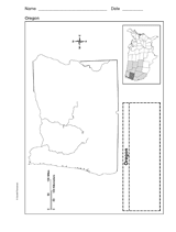
Use a printable outline map that depicts the state of Oregon.
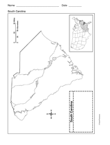
Use a printable outline map that depicts the state of South Carolina.
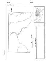
Use a printable outline map that depicts the state of South Dakota.
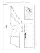
Use a printable outline map that depicts the state of Tennessee.
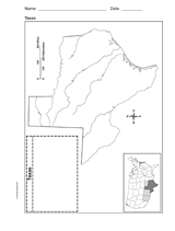
Use a printable outline map that depicts the state of Texas.
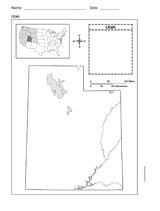
This printable outline map depicts the state of Utah. This will be a useful tool in geography and history classes.
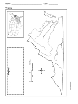
Use a printable outline map that depicts the state of Virginia.
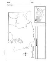
Use a printable outline map that depicts the state of Washington.
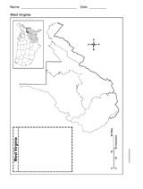
Use a printable outline map that depicts the state of West Virginia.
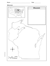
Use a printable outline map that depicts the state of Wisconsin.
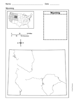
Use a printable outline map that depicts the state of Wyoming.