MAPS
A chart listing the highest mountain peaks in the United States.
A chart listing geographical highs, lows, and boundaries of the U.S.
A brief explanation of the North American continental divide.
A list of World Heritage sites in the United States.
Do you know what language is spoken in Belize? Look at this chart to find the answer to that question and what languages…
A list of Christopher Columbus's voyages and the places he landed on each of them.
A chart of vital ocean and sea statistics.
Learn about the Geography Hall of Fame with information on the world's largest continent, longest lagoon, and more!
The following table lists the approximate land area, highest elevation, and lowest elevation of the world's continents,…
Learn about the differences between climate maps, topographic maps, and others types of maps.
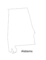
Blank outline map of Alabama.
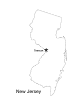
Blank outline map of New Jersey with state capital.
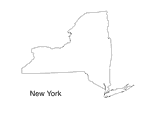
This blank map of New York is a great printable resource to teach your students about the geography of this state. This…
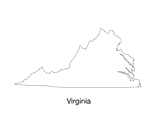
Blank outline map of Virginia.
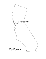
Blank outline map of California with state capital.
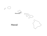
Blank outline map of Hawaii with state capital.
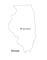
Blank outline map of Illinois with state capital.
Students pretend to be a historians as they gather data about the environment over the last 25 years and learn how to…
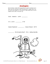
Learn geographic terms by studying how they are related to each other.
Geographical analogies.
Decide which geographical statement is true out of four choices.
Students re-write incorrect geographical statements.
ACTIVITIES
Students are asked to identify the location of cities on a map and determine the distances between them. Assesses their…
Teach students about the origins and history of the Mason-Dixon line through the nonfiction text Boundaries. The…