Political Map of the Western Hemisphere

Download
Add to Folder
creative writing
children's book
activities
classroom tools
language arts and writing
vocabulary
Create new folder
CREATE NEW FOLDER
Share
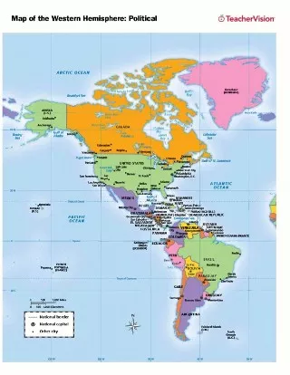
Use this printable map with your students to provide a political and physical view of the Western Hemisphere. After learning about this key sector, you can use this worksheet with students as a review. Students will fill in this blank, printable map with the names of each country and color in each section to distinguish political affiliation.
Grade:
6 |
7 |
8 |
9
+ show tags

Scott Foresman, an imprint of Pearson

Provided by Scott Foresman, an imprint of Pearson, the world's leading elementary educational publisher. Its line of educational resources supports teachers and helps schools and districts meet demands for adequate yearly progress and reporting.
loading gif