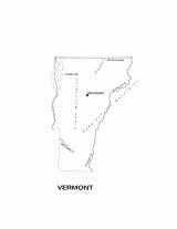
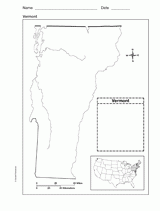
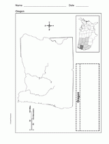
Help students understand the landform features of the U.S. state of Vermont with this printable physiographic Vermont state map. Includes information on geographic features, boundaries, state capital and major cities, and more. Use it to support a geography, geopolitical, or history unit in class or assign as a study aid for tests and quizzes.

