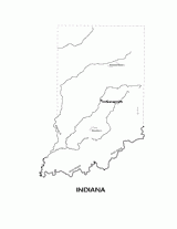
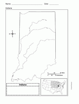
This printable black and white state map of Indiana includes all of the physiographic features for the state, and can be used as a resource for learning about the geography, borders, cities, and landmarks. Students can print, color, and label the map as an in-class exercise or a take-home assignment.

