Map Library
Browse through a selection of printable maps of the U.S. states, U.S. regions, continents, and more.
Maps of the United States - Find different maps of each state in the U.S. There are physical maps, maps with capitals, and maps of different geographical regions.
Maps of the World - Here you will find both color and blank maps of the world, each continent, regions of the world, and more.
Map Activities - These mapping activities are sure to keep your students engaged in learning geography. There are crossword puzzles, word searches, quizzes, and more!
Recommended Map Resources
-
MAPS
Latitude and Longitude Lesson Plan
This 40-minute latitude and longitude lesson plan will help students understand how latitude and longitude are used to i... -
MAPS
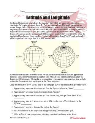
Latitude and Longitude Worksheet
Latitude and longitude are imaginary lines universally accepted as coordinates for locating places on Earth. Students ca... -

MAPS
Outline Map of North America
This black and white outline map features North America, and prints perfectly on 8.5 x 11 paper. It can be used for soci... -
MAPS
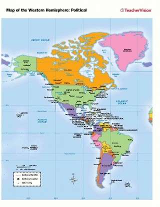
Political Map of the Western Hemisphere
Use this printable map with your students to provide a political and physical view of the Western Hemisphere. After lear... -
MAPS
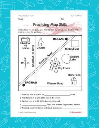
Practicing Map Skills
A great hands-on, supplemental activity to a map skills unit! A simple geography printable gives your class the chance t... -
MAPS
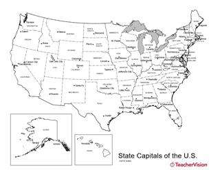
U.S. Map with State Capitals
Birmingham or Montgomery? Austin or Houston? Detroit or Lansing? This U.S. map with state capitals is a great way to te... -

MAPS
Latitude and Longitude Map
This printable outline map of the world provides a latitude and longitude grid. Use this social studies resource to help... -
MAPS
Origin of U.S. State Names
-
MAPS
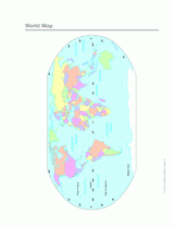
Color World Map
Use this printable colorful map with your students to provide a physical view of the world. After learning about this ke... -
MAPS
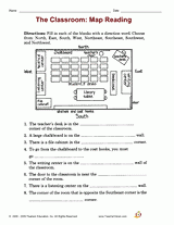
The Classroom: Map Reading
Employ with your students a printable reading activity that helps builds their skills in reading maps. Students will rec... -
MAPS
Map Library – the World
-
MAPS
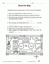
Read the Map
Employ this printable reading activity with your students that will help them build map reading and deductive reasoning ... -
WORKSHEETS
Map Library
Browse through a selection of printable maps of the U.S. states, U.S. regions, continents, and more. Plus, use our dista... -
MAPS
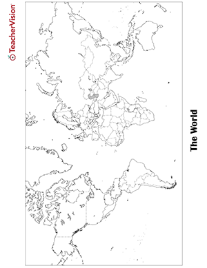
Blank World Map Worksheet Printable
Blank world map worksheet with countries - outline, non-labeled template with borders - print or download. Blank World ... -
MAPS
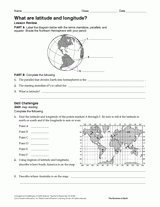
What Are Latitude and Longitude?
Give your students practice with geographic coordinates in this activity . In this printable worksheet, students will re... -
MAPS
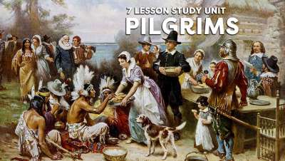
Pilgrim Unit (7 lessons)
Use this chart to plan the Pilgrim Study Unit (objectives and materials) of six lessons. Students will learn all about ... -
MAPS
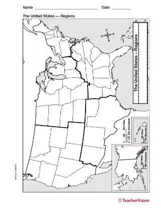
Map of U.S. Regions
Study U.S. geography with this printable map of U.S. Regions. This will help you teach your students about the different... -
MAPS
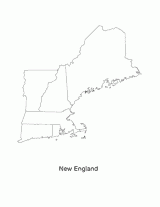
New England
This blank map of the New England area with the states outlined is a great printable resource to teach your students abo... -
MAPS
Map Library – United States
Find different printable maps of each state in the U.S. There are physical maps, maps with capitals, and maps of differe... -
MAPS
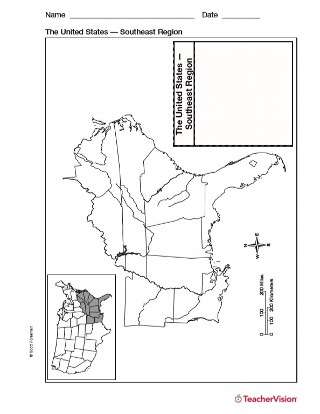
Map of Southeast United States
Use a printable outline map with your students that depicts the southeast region of the United States to enhance their s... -
MAPS
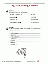
City, State, Country, Continent
Distribute a printable social studies activity to your students that focuses on identifying and categorizing geographic ... -
MAPS
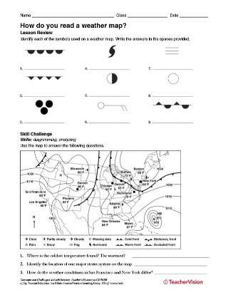
How Do You Read a Weather Map?
After identifying each of the symbols used on a weather map, students will use a map to answer questions about weather a... -
MAPS
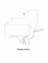
Mid Atlantic
This blank map of the Mid-Atlantic region with states outlined is a great printable resource to teach your students abou... -
MAPS
Australia Poster


