Map Library
Browse through a selection of printable maps of the U.S. states, U.S. regions, continents, and more.
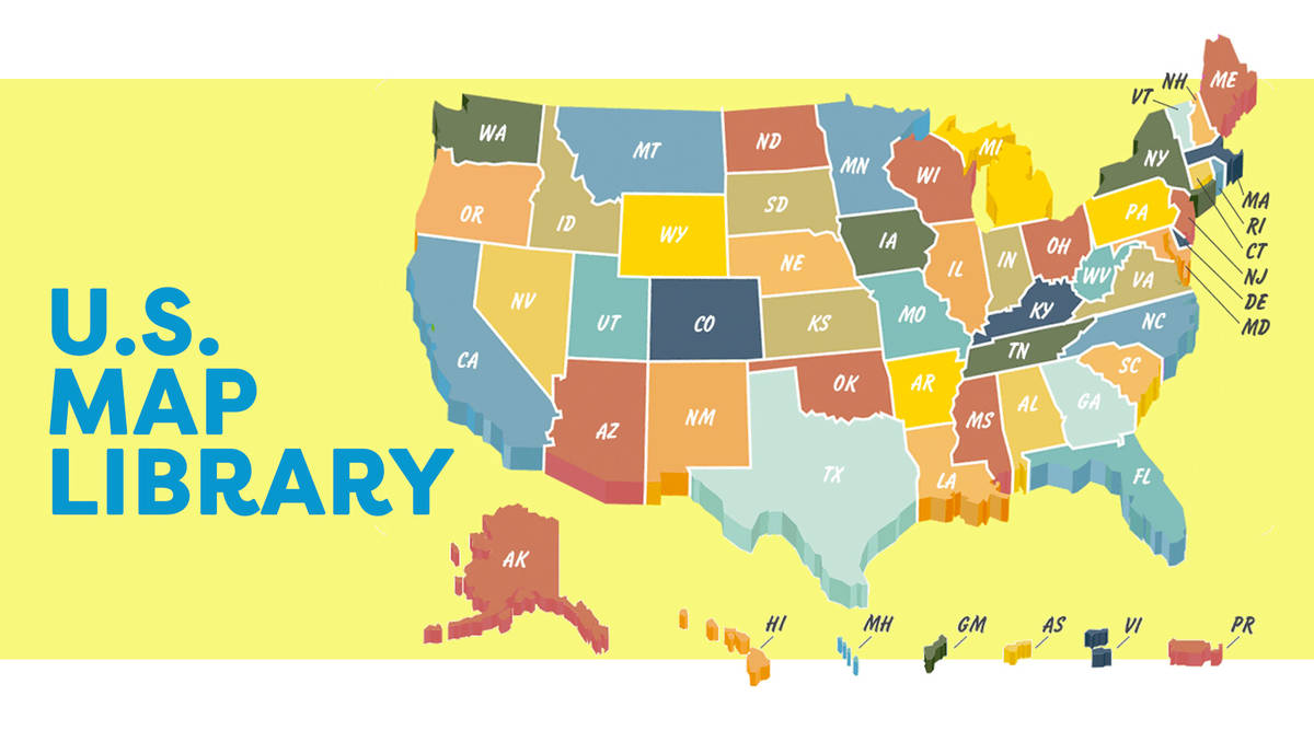
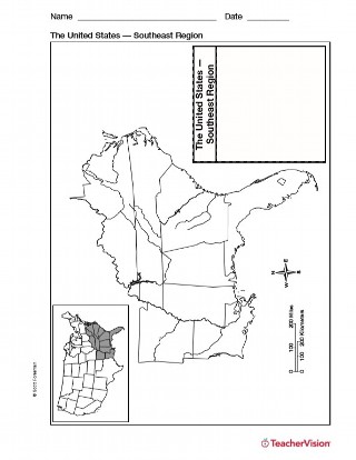
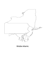
- Maps of the United States
Find different maps of each state in the U.S. There are physical maps, maps with capitals, and maps of different geographical regions.
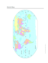
 - Maps of the World
Here you will find maps of the world, each continent, regions of the world, and more.
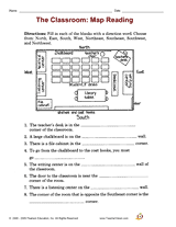
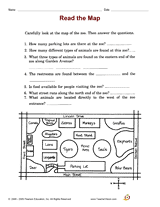
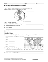
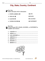
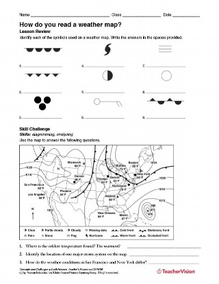
 - Map Activities
These mapping activities are sure to keep your students engaged in learning geography. There are crossword puzzles, word searches, quizzes, and more!
Distance Calculator
Find distances between cities/towns, land features, and moreHow Far Is It?
Distance Calculator now supports locations worldwide!
Names and locations in this distance calculator are from the Geographic Names Information System (GNIS), the federal standard for geographic nomenclature, developed for the U.S. Board on Geographic Names (BGN) by the U.S. Geological Survey (USGS), and BGN database of foreign geographic feature names. No attempt has been made to supplement those names with others that may be in common use.
Distance calculations are based on the WGS84 ellipsoid using geod (a part of the PROJ.4 Cartographic Projections library originally written by Gerald Evenden then of the USGS). The computation is for the great circle distance between points, and do not account for differences in elevation.
|
InfoPlease: World FunBrain: Geography Games U.S. States Theme |
Geography Social Studies Skill Builders: Geography Challenge Questions |
December Events
Find educational resources for every day in December. Fill your December lessons with activities for Hanukkah (Dec. 21 -- Sundown), Winter Solstice (Dec. 21), Christmas (Dec. 25), Kwanzaa (Dec. 26), New Year's Eve (Dec. 31), Universal Human Rights Month (Dec.), World AIDS Month (Dec.).
Rulers & Number Lines
Take a look at our collection of printable rulers and protractors and number lines and place-value charts.
Letter-Writing Activities
Develop students' composition skills with these printables and activities. Students will learn about basic letter formats and practice writing formal, persuasive, and friendly letters.
Walden Forums
Wondering about online education at Walden? Get answers to your questions, meet faculty, and learn what it's like to be a Walden student. Click here to check out our free Walden Forums!
2009 Educators' Calendar
There's something worth celebrating every day! Find fun and educationally relevant holidays, events, and celebrations for each day of the year.
Printable Maps
Enrich your lessons with our collection of printable world maps depicting continents, countries, capitals, political boundaries, lines of longitude and latitude, climate zones, oceans, land forms, and more. Plus, browse our collection of Unites States maps.
Daily Printables
Add a TeacherVision widget to your blog, personalized homepage (such as iGoogle or Pageflakes), or social networking sites (such as Facebook). Our widgets feature a different fifth-grade language arts printable or fourth-grade math printable for each day of the year.

