Map Library

Browse through a selection of printable maps of the U.S. states, U.S. regions, continents, and more. Plus, use our distance calculator to compute the distance between different parts of the United States and the World.
Grades:
5 |
6 |
7 |
8
+ show tags
Download

Browse through a selection of printable maps of the U.S. states, U.S. regions, continents, and more.

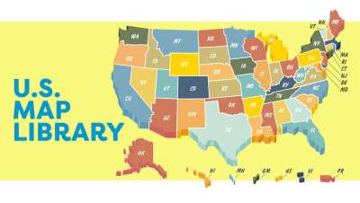
  • Maps of the United States
    Find different maps of each state in the U.S. There are physical maps, maps with capitals, and maps of different geographical regions.

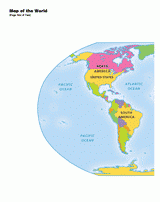
  • Maps of the World
    Here you will find maps of the world, each continent, regions of the world, and more.

  • Map Activities
    These mapping activities are sure to keep your students engaged in learning geography. There are crossword puzzles, word searches, quizzes, and more!


InfoPlease: World
Search for additional geographical resources like interactive atlases, country information, encyclopedia articles, and current events.

FunBrain: Geography Games
Find great geography games to help your students reinforce the material they are studying.

U.S. States Theme
Here you'll find word searches, quizzes, worksheets, and other cross-curricular activities to assist you with teaching about the fifty United States.

Geography
Enhance your curriculum with printable maps, statistical charts, quizzes, and more!

Social Studies
Find family and community, geography, government, history, and general social studies resources to expand your social studies thematic units.

Skill Builders: Geography Challenge Questions
Weekly geography challenge questions help students learn research skills and discover fun facts. Three levels of questions and their answers are provided for each week.

About the author

TeacherVision Staff

TeacherVision Editorial Staff

The TeacherVision editorial team is comprised of teachers, experts, and content professionals dedicated to bringing you the most accurate and relevant information in the teaching space.

loading gif