Political Map of Europe

Download
Add to Folder
creative writing
children's book
activities
classroom tools
language arts and writing
vocabulary
Create new folder
CREATE NEW FOLDER
Share
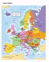
You can use this printable map to provide a political view of Europe. It will not only help your students improve their geography skills, but can help them remember key relationships between the European countries in specific time periods. This map can be altered to become more complex depending on the grade of your students
Grade:
6 |
7 |
8 |
9
+ show tags

Scott Foresman, an imprint of Pearson

Provided by Scott Foresman, an imprint of Pearson, the world's leading elementary educational publisher. Its line of educational resources supports teachers and helps schools and districts meet demands for adequate yearly progress and reporting.
loading gif