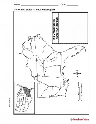


Use a printable outline map with your students that depicts the southeast region of the United States to enhance their study of geography. Students can complete this map in a number of ways: identify the states, cities, time period changes, political affiliations, and weather to name a few. When students are done labeling their map, encourage them to color coordinate sections according to the purpose of your lesson. Once complete, students can use this as a review as they continue to analyze and identify the other regions of the United States.

Authored by: