Printable world maps will enrich your social studies, geography, and history lessons. The maps in this slideshow depict continents, countries, capitals, political boundaries, lines of longitude and latitude, climate zones, oceans, landforms, and more. Explore our Map Library to discover even more great resources.
Subjects:
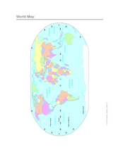
Use a printable 2-page map to provide a full color view of the world. Each continent is labeled. This map will help your students improve their geography skills
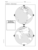
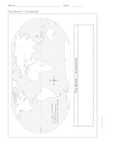
This printable world map provides two global viewpoints.
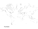
Study geography with this outline map of the world.
This printable outline map features all of the continents of the world. This is a great resource for social studies, geography, and history lessons.
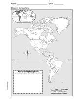
Improve students' geography skills with a printable outline map that depicts the Western Hemisphere.
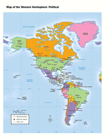
Use a printable map to provide a political view of the western hemisphere.
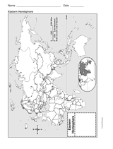
Help your students improve their geography skills with a printable outline map that depicts the Eastern Hemisphere.
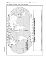
This printable outline map of the world provides a latitude and longitude grid. Use this social studies resource to help improve students' geography skills.
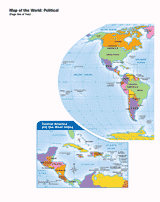
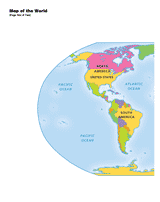
Use a printable map to provide a political view of the world. This printable will help your students improve their geography skills.
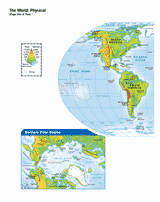
Use a printable map to provide a physical view of the World.
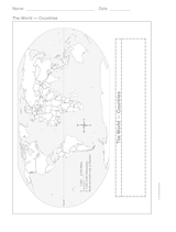
Help your students improve their geography skills with a printable outline map that features all of the countries in the world.
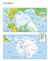
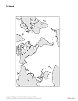
Use a printable map to provide views of the Arctic and Antarctica.
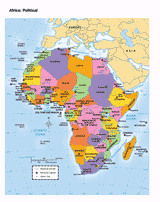
Use a printable map to provide a political view of Africa.
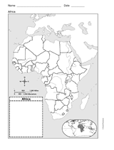
Use a printable outline map that depicts Africa to help your students improve their geography skills.
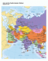
Use a printable map to provide a political view of Asia and the Pacific Islands.
Use a printable outline map that depicts Asia to enhance your geography or history lessons. A map scale is included, which will help your students understand how large the continent of Asia really is.
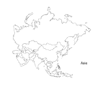
Teach children about Asia, the largest of the world's continents. This outline map is an excellent way to encourage students to color and label different countries in Asia.
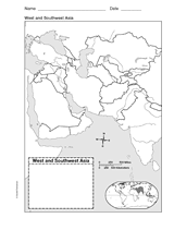
Use a printable outline map that depicts West and Southwest Asia to improve your students' geography skills.
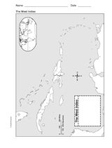
Use a printable outline map that depicts the West Indies.
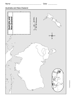
Use a printable outline map that depicts Australia and New Zealand to help your students improve their geography skills.
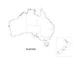
Explore Down Under with your child and this map. This printable map outlines the boundaries and regions of Australia.
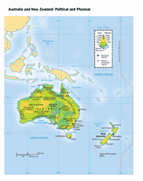
Use a printable map to provide a political and physical view of Australia and New Zealand
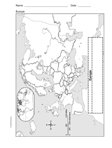
Enhance geography and history lessons with a printable outline map that depicts Europe.
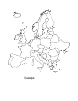
Print this outline map of Europe. This printable is an excellent way to encourage students to color and label different countries in Europe.
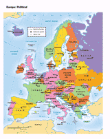
Use a printable map to provide a political view of Europe. This printable will help your students improve their geography skills.
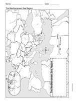
Use a printable outline map that depicts the Mediterranean Sea Region.
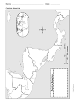
Use a printable outline map that depicts Central America.
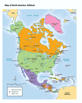
Use a printable map to provide a political view of North America.
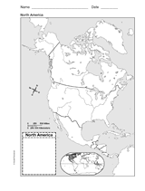
Help your students improve their geography skills with a printable outline map that depicts North America.

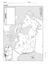
Print this outline map of North America. This map is an excellent way to encourage students to color and label different parts of Canada, the United States, and Mexico.
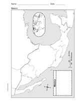
Use a printable outline map that depicts Mexico to help your students improve their geography skills.
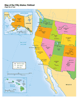
Use a printable map to provide a political view of the United States. This social studies reference shows major U.S. rivers, the Great Lakes, the national capital, state capitals, and other large cities.
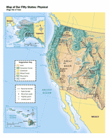
Use a printable map to provide a physical view of the United States.
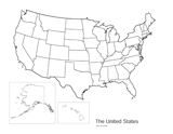
Print this outline map of the United States of America. This map is an excellent way to encourage children to color and label all fifty states.
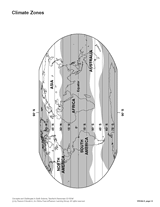
Use this map to help students visualize climate zones around the world.
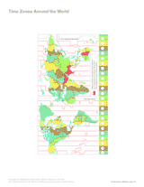
Use this printable map to compare time differences and visualize the boundaries of time zones around the world. The Canadian engineer and inventor Sir Sandford Fleming first suggested Universal Standard Time in the late 1800s.