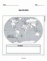
In this activity, students are asked to use a satellite image of their school and neighborhood to create a map that shows two paths for fire engines to follow. Their maps must include the fastest route between the firehouse and the school, and one alternate that emergency vehicles can use in case of traffic.

